One map. Several ways to share it.
A figure for a paper, a sequence for a lecture, or a map your readers can explore. These are real Marches exports, all using the same pilgrimage sample and Ensign palette.
Static · one moment
A map for the page
Places visible in 1170, with a year label. Use PNG in slides and documents, or SVG for a scalable figure you can edit.
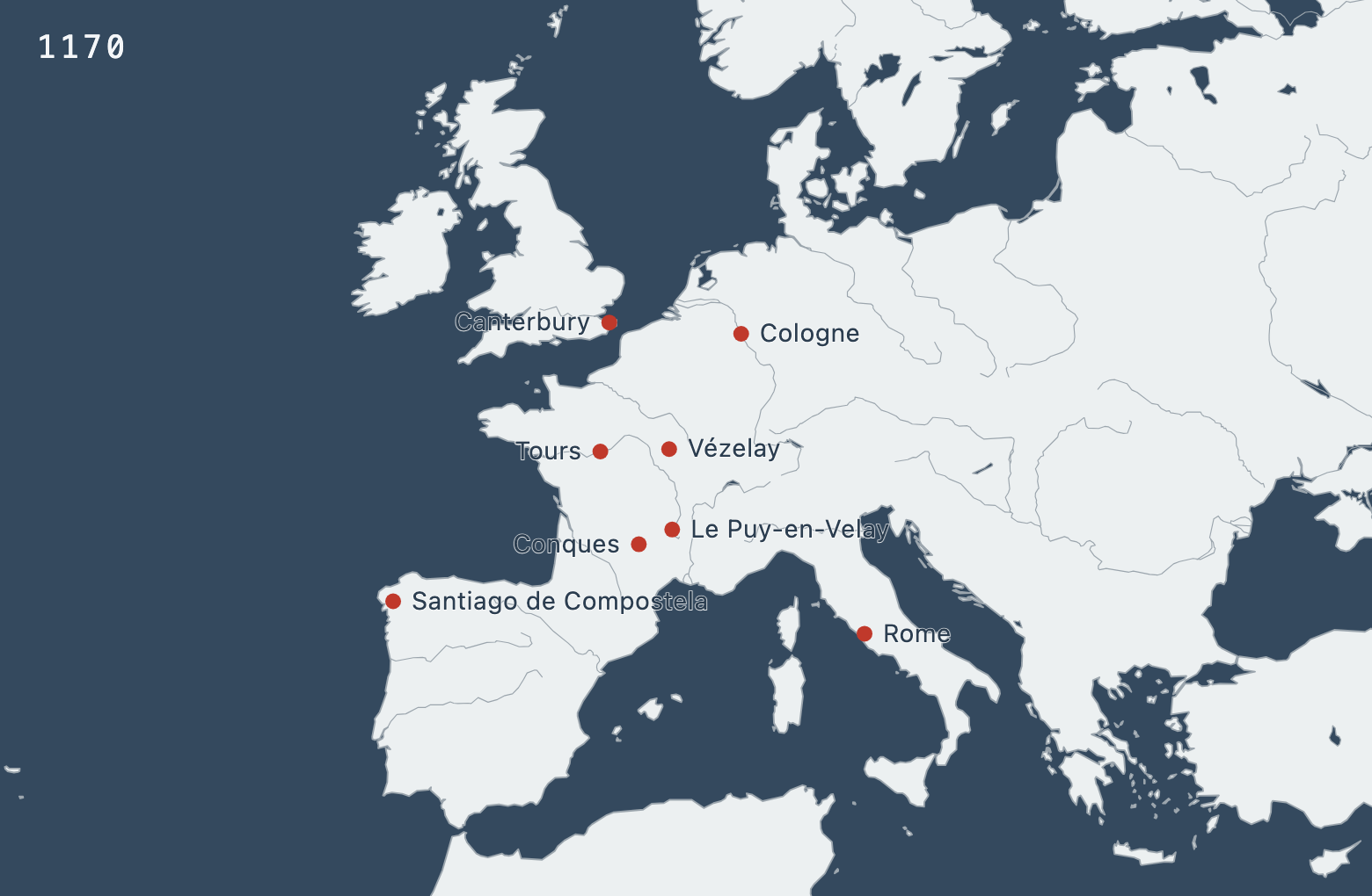
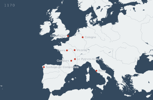
PNG: 1560 × 1020 pixels.
Static · change side by side
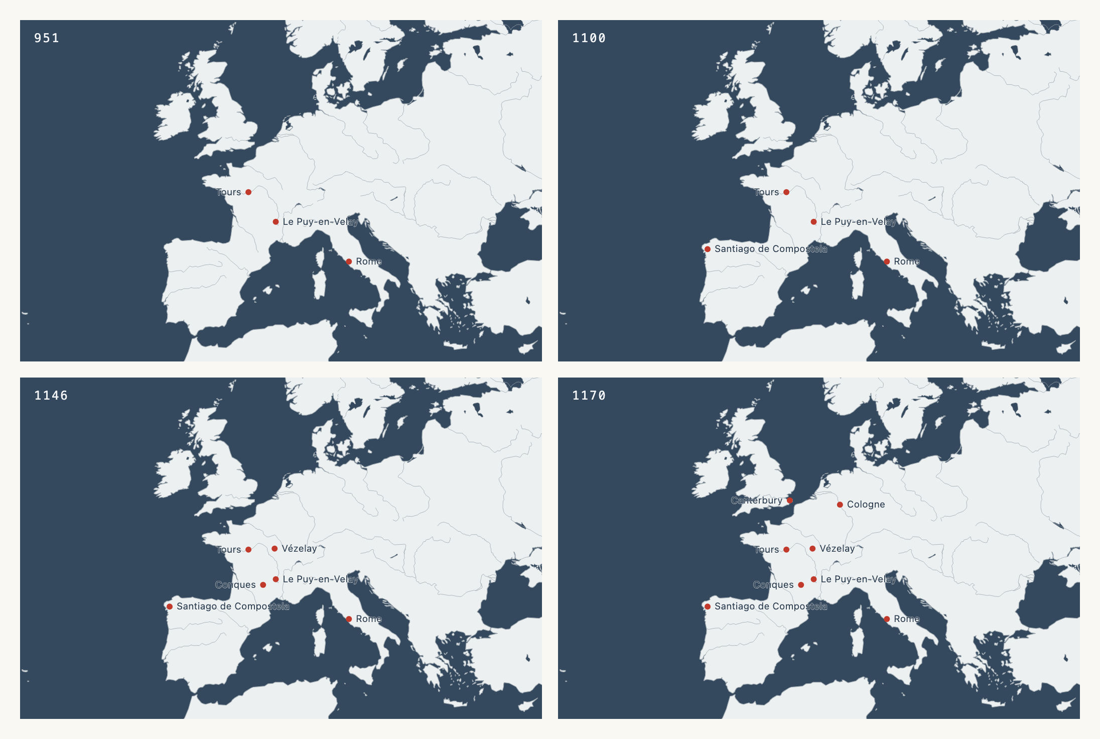
Four years, one figure
951, 1100, 1146, and 1170 share the same view and scale. Compare them on a printed page, or use individual frames across a slide deck.
Dynamic · a map to explore
Press Play to move through time
Play the four selected years, change the speed, or use the year slider. Click a place to read its sample source. You can pan and zoom, too.
The downloaded HTML works offline in a browser. This is an interactive map, not a video file. Open the project file in Marches to change the years, colors, or labels.
About this sample: eight European sites from the Marches pilgrimage example, with approximate modern coordinates and illustrative dates and source notes. A dated place appears from its stated year onward; undated places remain visible. The years mark selected events in the sample, not the founding of each site or a complete history of pilgrimage. Coastlines are modern.